Kirk
Hi, please do not make changes blindly if you do not speak the language and do not understand the context of sources - as in the case of Dravograd, where your primary source (those are not relevant, by the way, we must use secondary sources) doesn't even know what Koroška (Kärnten) is. I therefore reverted your changes. I suggest you try and look up an authoritative secondary source instead, such as the monograph Slovenija - pokrajine in ljudje (COBISS) which we used in gathering these data. — Yerpo Ha? 18:40, 5. december 2016 (CET)
- I know exactly, what is Koroška. It's slovenian name for Kärnten / Carinthia or Korutany (in Czech). And Its border is on that map. It's not my fault, that you don't know historical borders between Styria (Štajerska) and Carinthia (Koroška) ;) --Kirk (pogovor) 19:05, 5. december 2016 (CET)
Please stop labeling other peoples' edits as vandalism. We told you that primary sources are not definitive, because their interpretation may vary and regional borders can change during the course of history. Nor are private websites considered reliable sources. Seeing that you ignored all the arguments and started reverting us, it's your actions that are borderline vandalism. Now please start respecting this wiki's rules or you will be prevented from editing further. — Yerpo Ha? 18:48, 10. december 2016 (CET)
- I did add references, what else add you, please? I simply fullfil my duty. And Gemeindelexikon is very reliable source, because it is official. And on the Czech wikipedia are such sources considered reliable as well. --Kirk (pogovor) 19:14, 10. december 2016 (CET)
- a) Gemeindelexikon is a century old primary source. They are not allowed per Wikipedija:Brez izvirnega raziskovanja.
- b) this is not Czech Wikipedia. — Yerpo Ha? 19:22, 10. december 2016 (CET)
- Gemeindelexikon is still reliable source because Koroška and Štajerska are both historical provinces. These publications describe last valid form of this regions in the Habsburg monarchy. Now they both are not functional, so the last borders of these territories are still the last valid borders. Any others borders of these historical regions wasn't set because they wasn't restored. --Kirk (pogovor) 19:40, 10. december 2016 (CET)
- As I said, regional borders can change, and that's what happened. The regions didn't just disappear after both wars, so this argument of yours is invalid. The situation is just not so exact anymore, because they are not official regions, but that doesn't mean they aren't referred to in offical documents. Slovenj Gradec, in particular, is being developed as the regional center for Koroška. Probably not to everybody's wishes, but we're not here to publish wishes. That's why it's critical to rely on good secondary sources. — Yerpo Ha? 19:53, 10. december 2016 (CET)
- And where is now Štajerska? The current regia Koroška is not coincident with the historical region, because it is artificial statistical region with new borders, while Štajerska is not on the current map of Slovenia. --Kirk (pogovor) 20:01, 10. december 2016 (CET)
- As I said, regional borders can change, and that's what happened. The regions didn't just disappear after both wars, so this argument of yours is invalid. The situation is just not so exact anymore, because they are not official regions, but that doesn't mean they aren't referred to in offical documents. Slovenj Gradec, in particular, is being developed as the regional center for Koroška. Probably not to everybody's wishes, but we're not here to publish wishes. That's why it's critical to rely on good secondary sources. — Yerpo Ha? 19:53, 10. december 2016 (CET)
- Slovenian part of historical Koroška is desribed in the article Koroška (pokrajina), which has two parts - west (territory of municipality of Jezersko) and east. And carinthian municipality of Jezersko isn't part of Regia Koroško, so I guess you find Jezersko maybe in Carniola, isn't it? :-) --Kirk (pogovor) 20:21, 10. december 2016 (CET)
Yes, Jezersko is now treated as part of Upper Carniola. Because of the state borders it is common sense not to treat it as Carintian settlement. You can say modern borders between regions in Slovenia follow more "natural" logic as historical borders.
And answer to your previous question ("Where is now Štajerska?"): it's hard to find actual maps with borders between "modern" Koroška and Štajerska but you can check one here. Just maximize the first (TOURIST MAP 1:250.000) of three maps. M★Zaplotnik edits 20:52, 10. december 2016 (CET)
- It's nonsense - I did think it ironically. The only traditional border is the historical border. --Kirk (pogovor) 00:04, 11. december 2016 (CET)
- I think we should first make clear, which data we actually want in the parameter of Tradicionalna pokrajina. As I understand the term, it's meaning should be connected with lands of Austria-Hungary. The other word for traditional could also be historical. That is what it means. In case of Jezersko there should stay Carinthia. In case of Brežice the description correctly says Štajerska. If there would stay Posavje, it is not traditional any more.
- But current cadastral borders are little different than historical cadastral border of the time of the Austrian empire, so the historical cadastral borders are also the borders between between Carinthia and Styria, or Carniola and Styria. --Kirk (pogovor) 00:10, 11. december 2016 (CET)
- The other option would be changing the name of the parameter: to replace traditional with informal. In that case Brežice would be the town in Posavje and Slovenj Gradec in Carinthia. I'm not even sure about Jezersko. Probably Gorenjska.
- About lexicons, encyclopedias, atlases ...: In the context of historiography they are all treated as secundary sources, not primary. No matter they are from 19th century. A map from a lexicon is therefore a secondary source too. Kirk is using his sources completely legally for Wikipedia purposes – that means in comparison with modern scientific findings. Historiographic methodology is the same in the Czech Republic and Slovenia. --Janezdrilc (pogovor) 23:28, 10. december 2016 (CET)
- By the way little part of Slovenia belongs to Medžimurje. --Kirk (pogovor) 00:18, 11. december 2016 (CET)
- You mean Štrigova? --Janezdrilc (pogovor) 13:28, 11. december 2016 (CET)
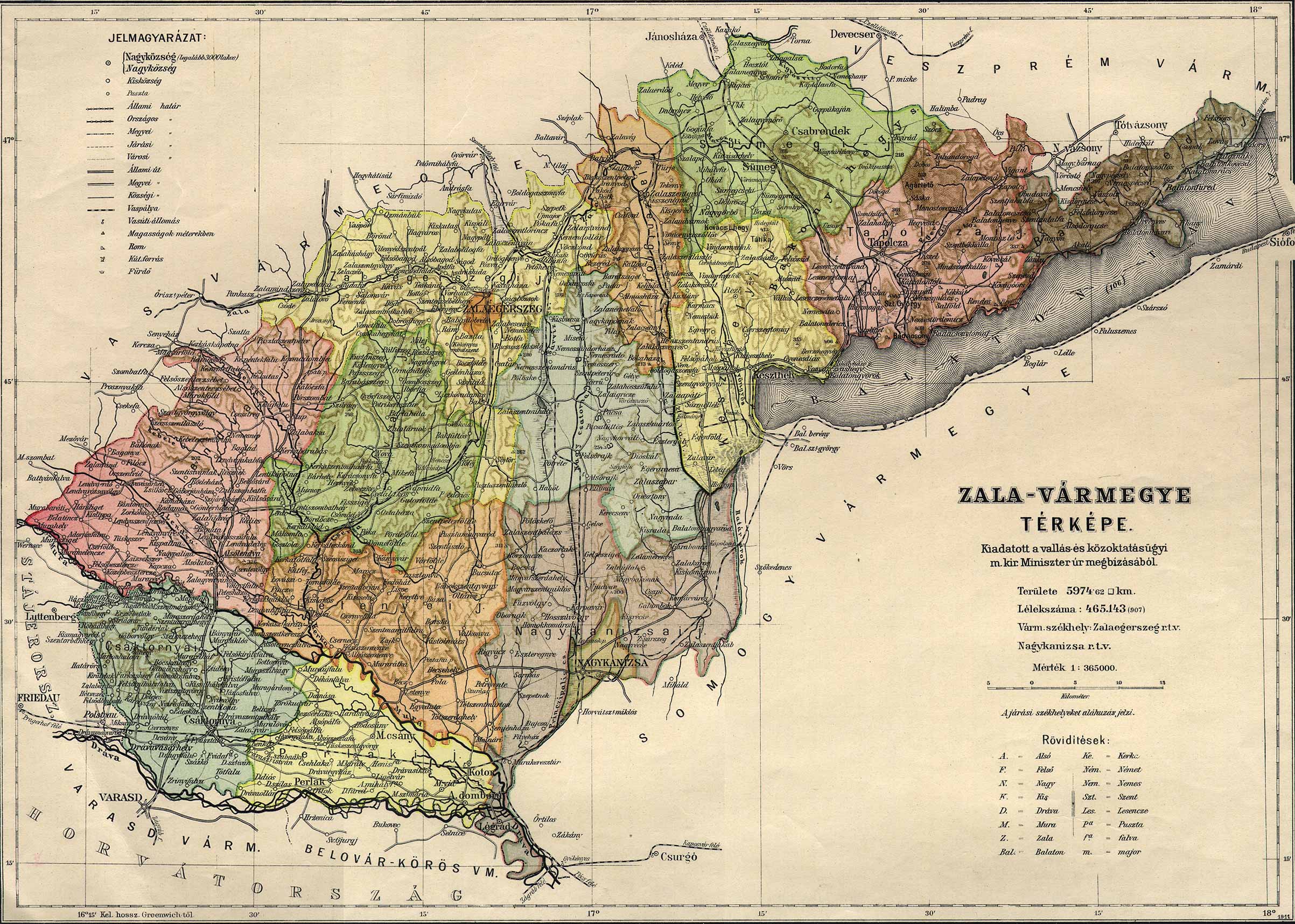
- You must be joking. I mean that part of Slovenia, which was part of Hungary and lies south of river Mura (Gibina, Globoka, Kopriva, Razkrižje, Šafarsko, Šprinc and Veščica)- see: http://mapire.eu/en/map/secondsurvey/?bbox=1805055.6456401695%2C5861205.660850118%2C1818594.5542751814%2C5869030.901620814 This territory was part of County of Zala. See another map - http://lazarus.elte.hu/hun/maps/1910/zala.jpg. And because this territory was part of Hungarian district of Čakovec it may be considered part of Medžimurje --Kirk (pogovor) 14:43, 11. december 2016 (CET)
- Look, again, you are ignoring the fact that regional borders can change. So no, it may not be considered part of Medžimurje, because no regional scheme (official or unofficial) in modern-day Slovenia includes Medžimurje. We are treating traditional regions as modern continuity of the historical regions, which did not get frozen in time and space when they were no longer official. Your conclusions in this direction are pure original research and against consensus, and the regional borders you refer to are obsolete at least since World War II. So, once again, pleas stop. Razkrižje and other settlements you mention are part of modern-day Štajerska. — Yerpo Ha? 16:44, 11. december 2016 (CET)
Slovenian Medžimurje
urediI read article Prekmurje and it describes that Prekmurje lies on the left bank of river Mura. So the villages on the right bank of Mura (Gibina, Globoka, Kopriva, Razkrižje, Šafarsko, Šprinc and Veščica) aren't part of Prekmurje and they may be considered part of Medžimurje as Slovensko Medžimurje. --Kirk (pogovor) 15:09, 11. december 2016 (CET)
- No, they are part of Štajerska now. See above. — Yerpo Ha? 16:44, 11. december 2016 (CET)
- From when? Nobody made such decision. In 1918 was established Slovenia and Štajerska wasn't latter restored... So it is nonsense to say, that it is now part of Štajerska. --Kirk (pogovor) 20:10, 11. december 2016 (CET)
- If nothing else, the decision was made when republic borders were established. Since regional division of Slovenia doesn't include Medžimurje, and, as you noticed, since Prekmurje lies on the left bank of river Mura, they can only belong to Štajerska. These are not just abstract historical entities, but still an important part of the cultural identity of people living there now. Your academic approach ignores a huge part of reality here. If these areas could be considered part of Medžimurje sometime in the past, this can be explained in the text. — Yerpo Ha? 07:14, 12. december 2016 (CET)
- From when? Nobody made such decision. In 1918 was established Slovenia and Štajerska wasn't latter restored... So it is nonsense to say, that it is now part of Štajerska. --Kirk (pogovor) 20:10, 11. december 2016 (CET)