Pogovor:Zgodovina Slovenije od leta 1918 do leta 1945
Morda bi bilo bolje Zgodovina Slovenije 1918-1945? --IP 213 17:20, 13. februar 2008 (CET)
Detailed map of Slovenia (1918-1924)
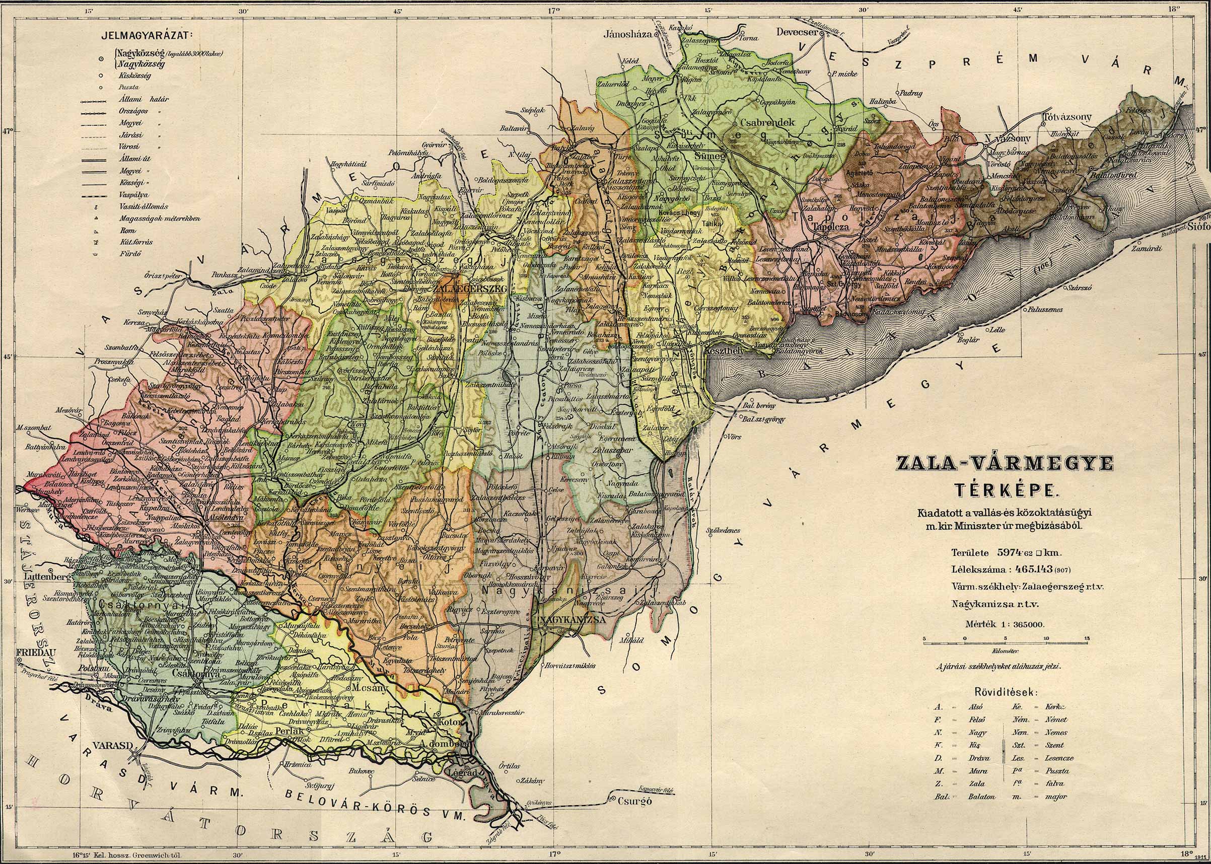
urediHallo, I'd like to know the precise definition of the border of Slovenia in this era. Is there any precise and detailed map? And what about those 7 villages (Gibina, Globoka, Kopriva, Razkrižje, Šafarsko, Šprinc and Veščica) south of river Mura? Were they also part of Slovenia in this era? (Gibina, Globoka, Kopriva, Razkrižje, Šafarsko, Šprinc and Veščica). They were until 1918 part of the County of Zala in the Kingdom of Hungary - see map: http://mapire.eu/en/map/secondsurvey/?bbox=1805055.6456401695%2C5861205.660850118%2C1818594.5542751814%2C5869030.901620814 and http://lazarus.elte.hu/hun/maps/1910/zala.jpg. --Kirk (pogovor) 16:15, 11. december 2016 (CET)