Slika:United Kingdom Greece Locator.png
Velikost tega predogleda: 750 × 600 točk. Druge ločljivosti: 300 × 240 točk | 600 × 480 točk | 961 × 768 točk | 1.218 × 974 točk.
Izvorna datoteka (1.218 × 974 točk, velikost datoteke: 158 KB, MIME-vrsta: image/png)
Spodaj prikazane informacije so s tamkajšnje opisne strani.
Povzetek
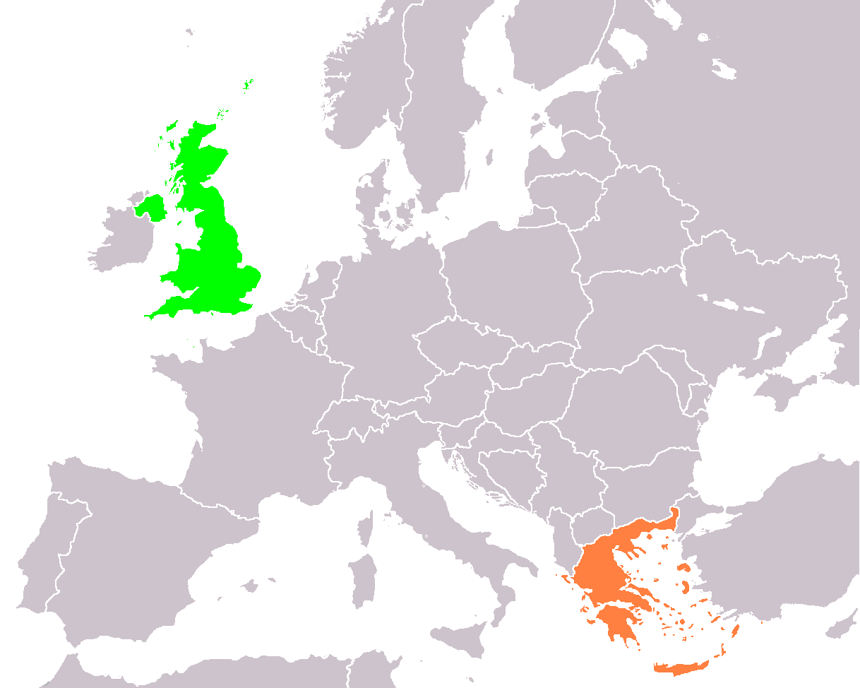
| Opis | Locator map of the United Kingdom and Greece, used for the British-Greek Foreign relations article on wikipedia. |
| Datum | |
| Vir | lastno delo |
| Avtor | El Spartan / El_Greco on wikipedia |
Licenca
Jaz, imetnik avtorskih pravic na tem delu, ga s tem objavljam pod naslednjimi licencami:

|
Ta dokument je dovoljeno kopirati, razširjati in/ali spreminjati pod pogoji Licence GNU za prosto dokumentacijo, različica 1.2 ali katera koli poznejša, ki jo je objavila ustanova Free Software Foundation; brez nespremenljivih delov ter brez besedil na sprednji ali zadnji platnici. Kopija licence je vključena v razdelek Licenca GNU za prosto dokumentacijo. |
Datoteka je objavljena pod licencami Creative Commons Priznanje avtorstva-Deljenje pod enakimi pogoji 3.0 Nedoločena, 2.5 Generična, 2.0 Generična in 1.0 Generična.
- Dovoljeno vam je:
- deljenje – reproducirati, distribuirati in javno priobčevati delo
- predelava – predelati delo
- Pod naslednjimi pogoji:
- priznanje avtorstva – Navesti morate ustrezno avtorstvo, povezavo do licence in morebitne spremembe. To lahko storite na kakršen koli primeren način, vendar ne na način, ki bi nakazoval, da dajalec licence podpira vas ali vašo uporabo dela.
- deljenje pod enakimi pogoji – Če boste to vsebino predelali, preoblikovali ali uporabili kot izhodišče za drugo delo, morate svoj prispevek distribuirati pod enako ali združljivo licenco, kot jo ima izvirnik.
Izberete lahko licenco po svoji izbiri.
Zgodovina datoteke
Kliknite datum in čas za ogled datoteke, ki je bila takrat naložena.
| Datum in čas | Sličica | Velikost | Uporabnik | Komentar | |
|---|---|---|---|---|---|
| trenutno | 01:24, 10. september 2007 | | 1.218 × 974 (158 KB) | El Greco | == Summary == {{Information |Description=Locator map of the United Kingdom and Greece, used for the British-Greek Foreign relations article on wikipedia. |Source=self-made/Used map from the Bucharest in Europe map |Date=2007-09-09 |Author= [[User:El Spar |
| 22:53, 9. september 2007 |  | 1.218 × 1.245 (193 KB) | El Greco | == Summary == {{Information |Description=Locator map of the United Kingdom and Greece, used for the British-Greek Foreign relations article on wikipedia. |Source=self-made |Date=2007-09-09 |Author= El Spartan / El_Greco on wikipedia } |
Uporaba datoteke
Datoteka ni del nobene strani slovenske Wikipedije.
Globalna uporaba datoteke
To datoteko uporabljajo tudi naslednji vikiji:
- Uporaba na en.wikipedia.org
- Uporaba na fa.wikipedia.org