Slika:France Germany Locator (World).svg

Velikost tega predogleda PNG datoteke SVG: 800 × 353 točk. Druge ločljivosti: 320 × 141 točk | 640 × 283 točk | 1.024 × 452 točk | 1.280 × 565 točk | 2.560 × 1.130 točk | 940 × 415 točk.
Izvorna datoteka (Datoteka SVG, nominalno 940 × 415 pikslov, velikost datoteke: 1,46 MB)
Spodaj prikazane informacije so s tamkajšnje opisne strani.
.svg)
| Opis |
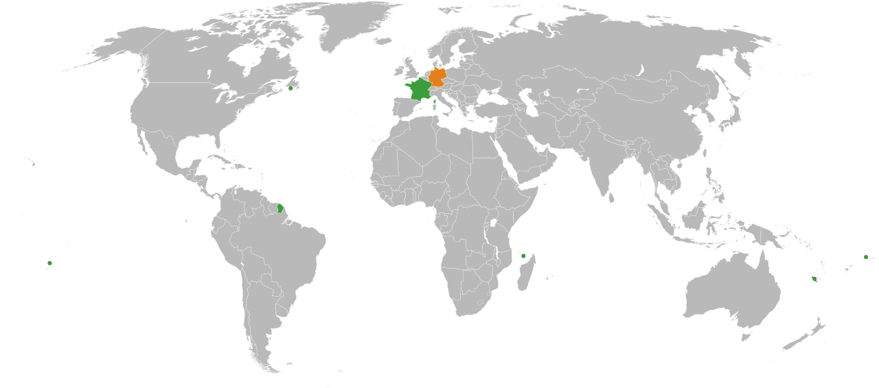
English: A map of the location of France and Germany, including the French territories.
Germany
France |
| Datum | |
| Vir |
|
| Avtor | Lokal_Profil |
| Dovoljenje (Nadaljnja uporaba datoteke) |
Datoteka je objavljena pod licenco Creative Commons Priznanje avtorstva-Deljenje pod enakimi pogoji 2.5 Generična.
|
| Druge različice | In Europe: File:France Germany Locator (Europe).svg |
.svg)
Zgodovina datoteke
Kliknite datum in čas za ogled datoteke, ki je bila takrat naložena.
| Datum in čas | Sličica | Velikost | Uporabnik | Komentar | |
|---|---|---|---|---|---|
| trenutno | 00:39, 11. marec 2018 | | 940 × 415 (1,46 MB) | BegbertBiggs | Reverted to version as of 20:10, 14 December 2007 (UTC) |
| 00:38, 11. marec 2018 |  | 593 × 606 (703 KB) | BegbertBiggs | Changed to map of Europe for better visibility. | |
| 22:10, 14. december 2007 |  | 940 × 415 (1,46 MB) | Lokal Profil | Added the Overseas collectivities of France | |
| 22:01, 14. december 2007 |  | 940 × 415 (1,46 MB) | Lokal Profil | {{Information |Description={{en|A map of the location of France and Germany, including the French territories.}} {{legend|#e3801c|Germany}} {{legend|#3c9d3c|France}} |Source=*Vector map from [[:Image:BlankMap-World6, compact.svg|BlankMap-World6, compact.s |
Uporaba datoteke
Datoteka ni del nobene strani slovenske Wikipedije.
Globalna uporaba datoteke
To datoteko uporabljajo tudi naslednji vikiji:
.svg)